Tennessee Bicentennial Capital Mall State Park
The Tennessee Mall State Park is an original one of a kind experience. Often overlooked or passed over for more flashy tourist sites, nevertheless this site is worth your time. It is not completely apparent at first what you are looking at and what it is telling you, Unlike most parks, this one requires close inspection and retrospection as you read, observe and walk.
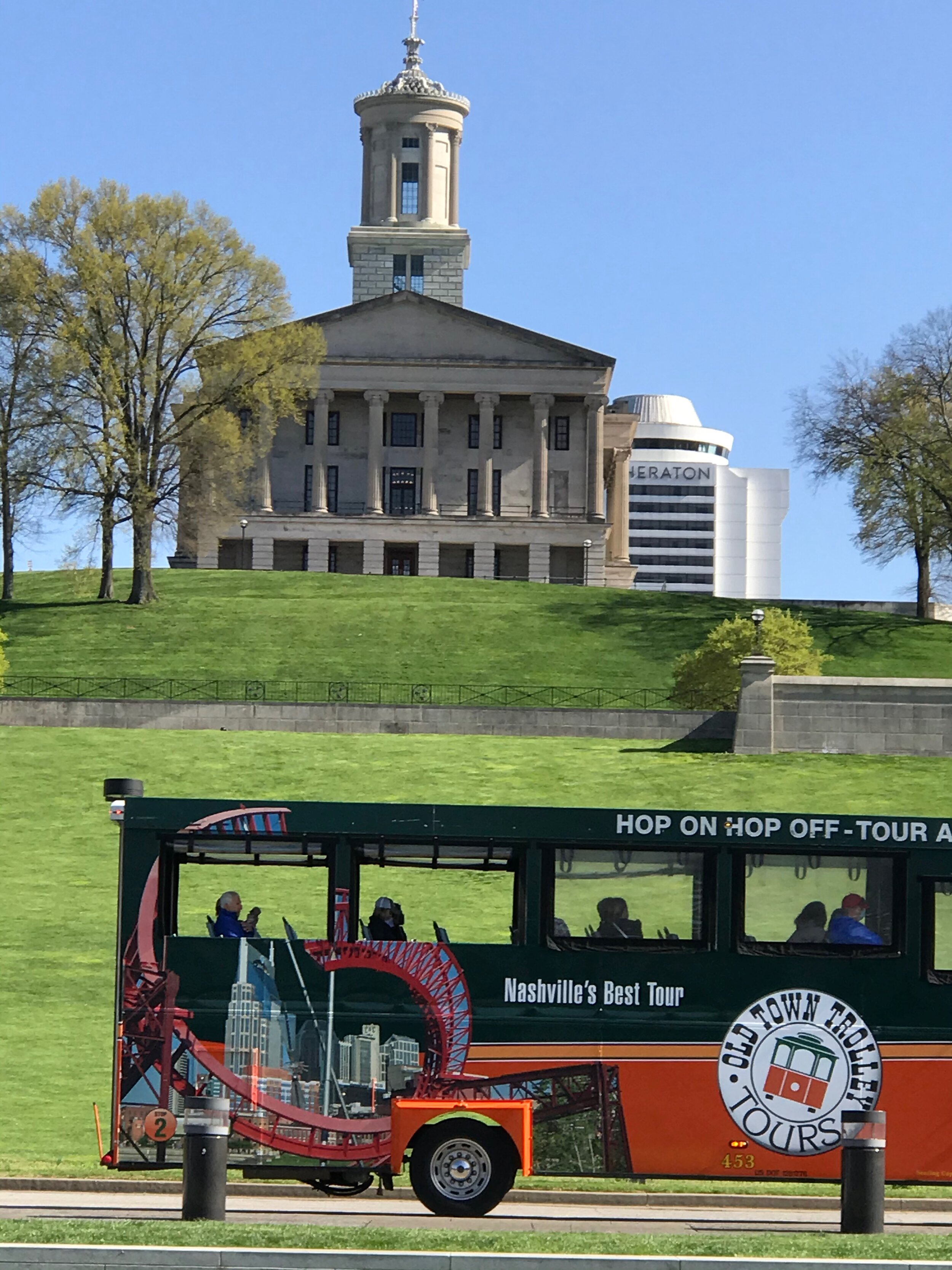
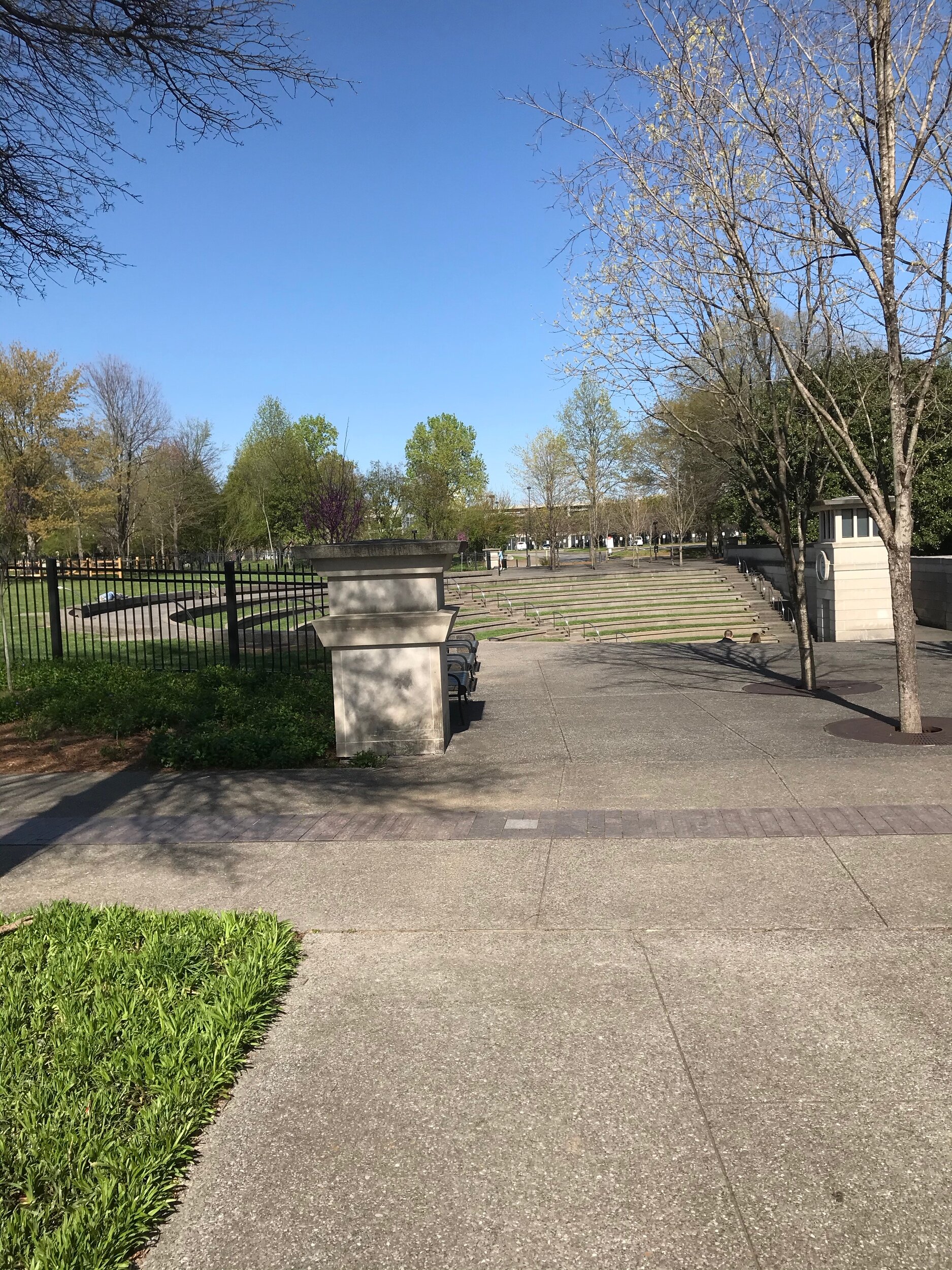
Like many things in Nashville it is creative, innovative and compelling. A long rectangular park across from the state capitol, for me this park has four major elements. There is more there, way more, than what I am about to describe but these are the things that stood out for us.
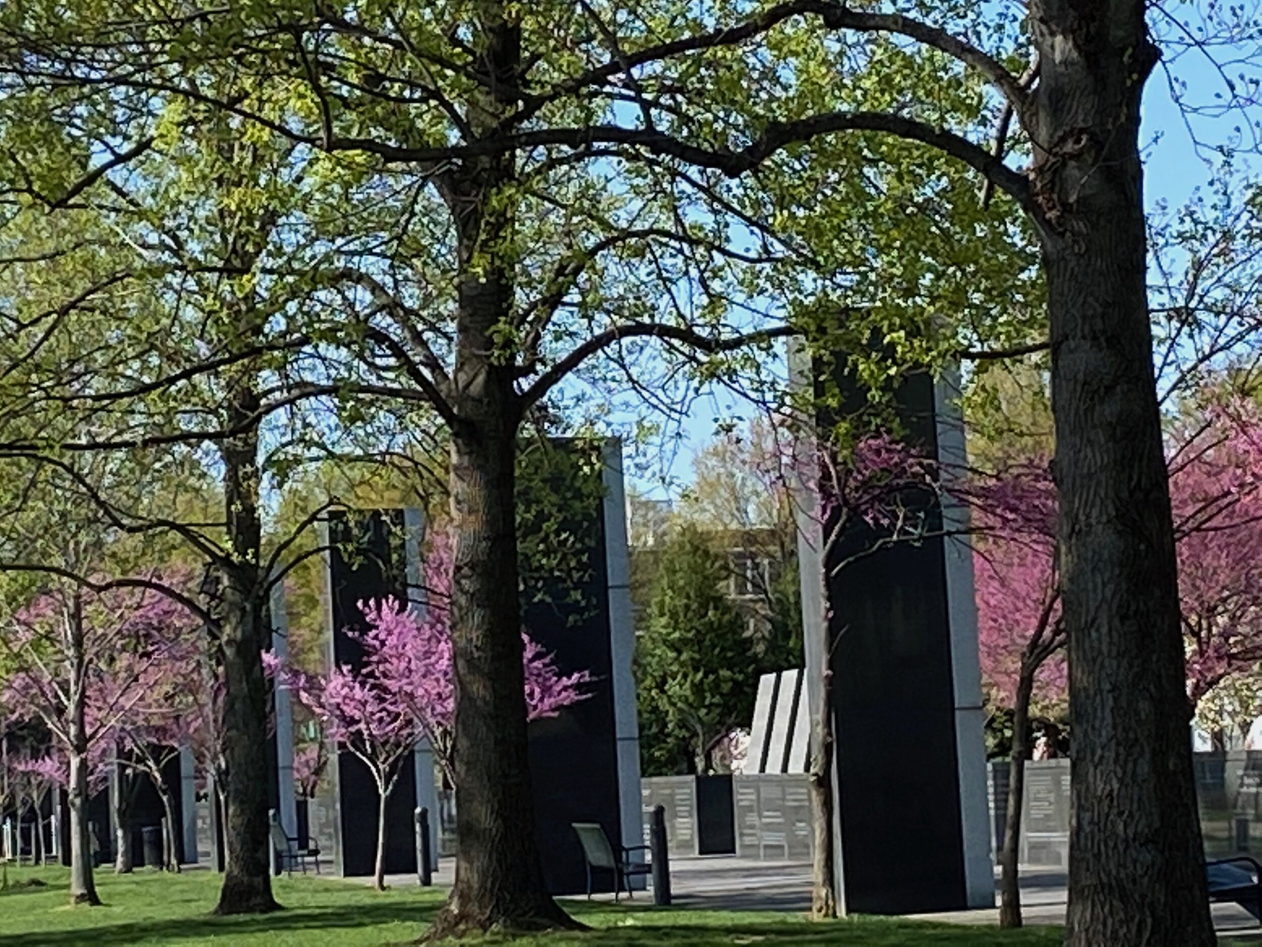
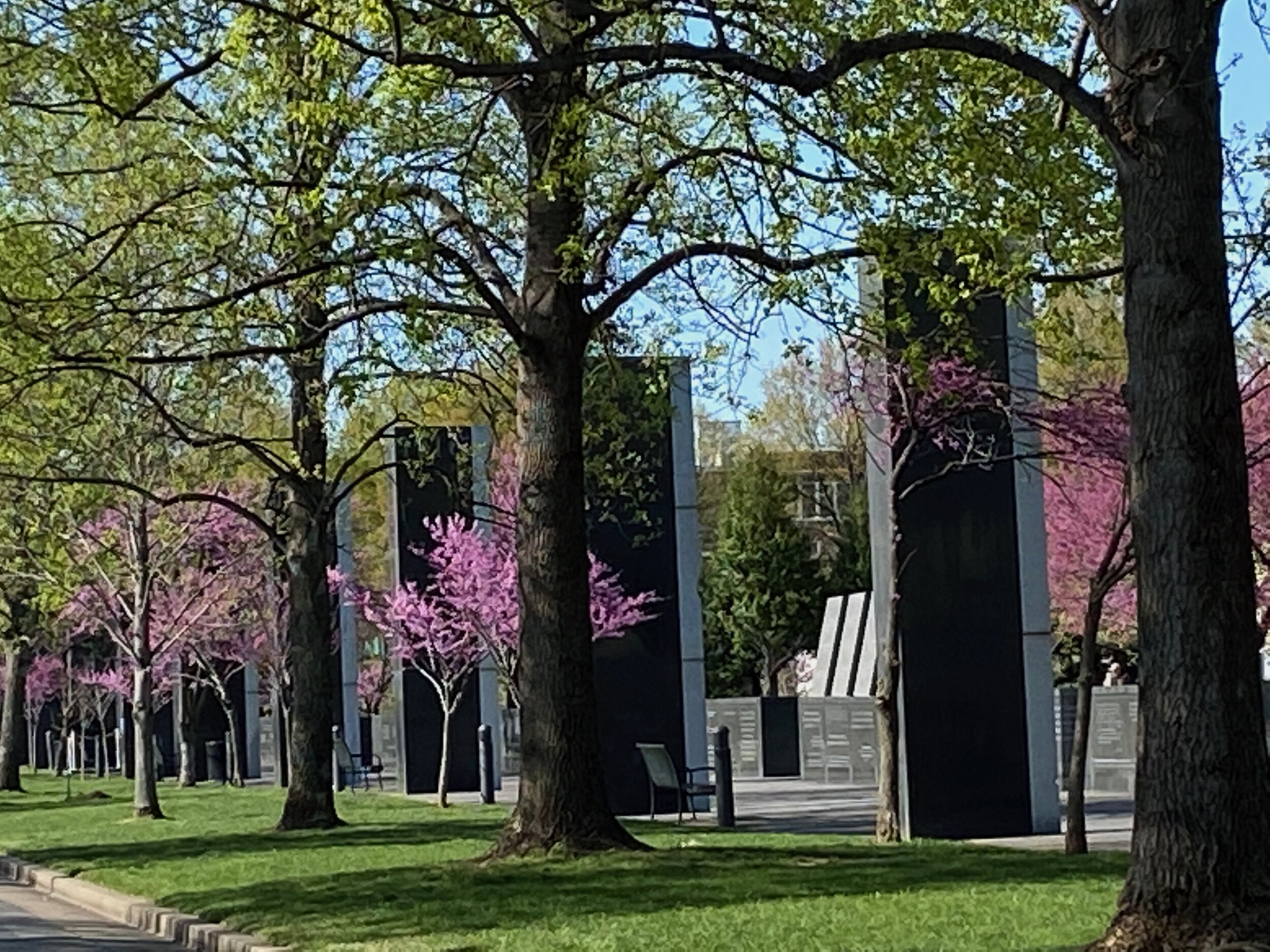
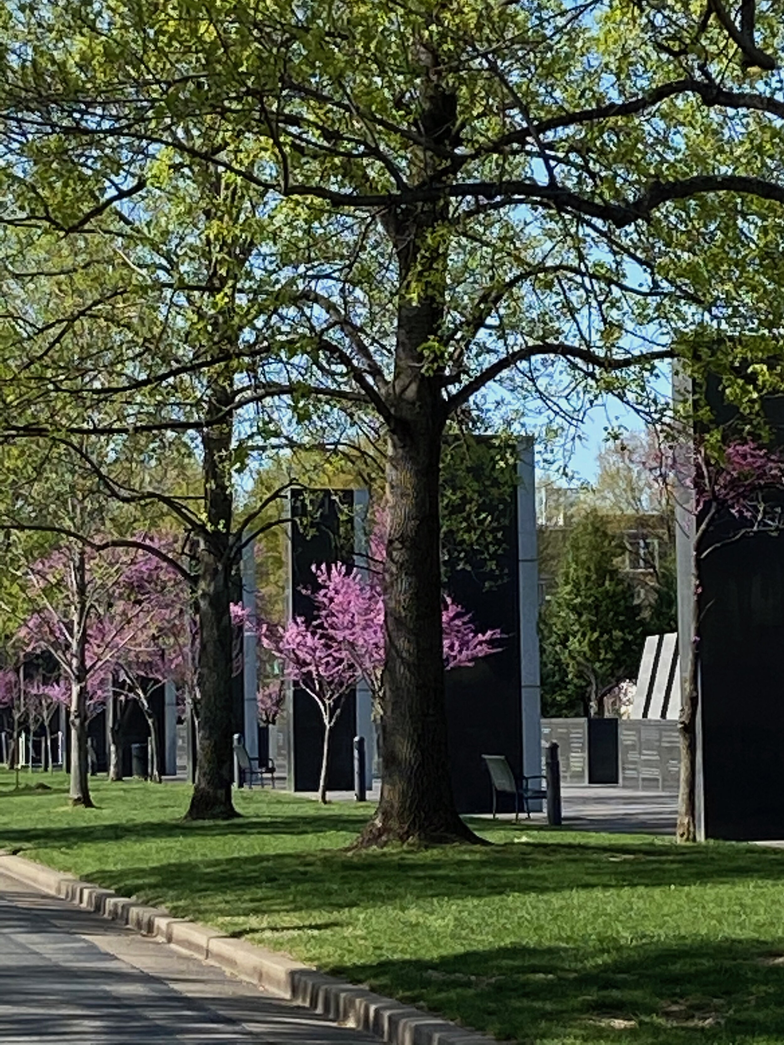
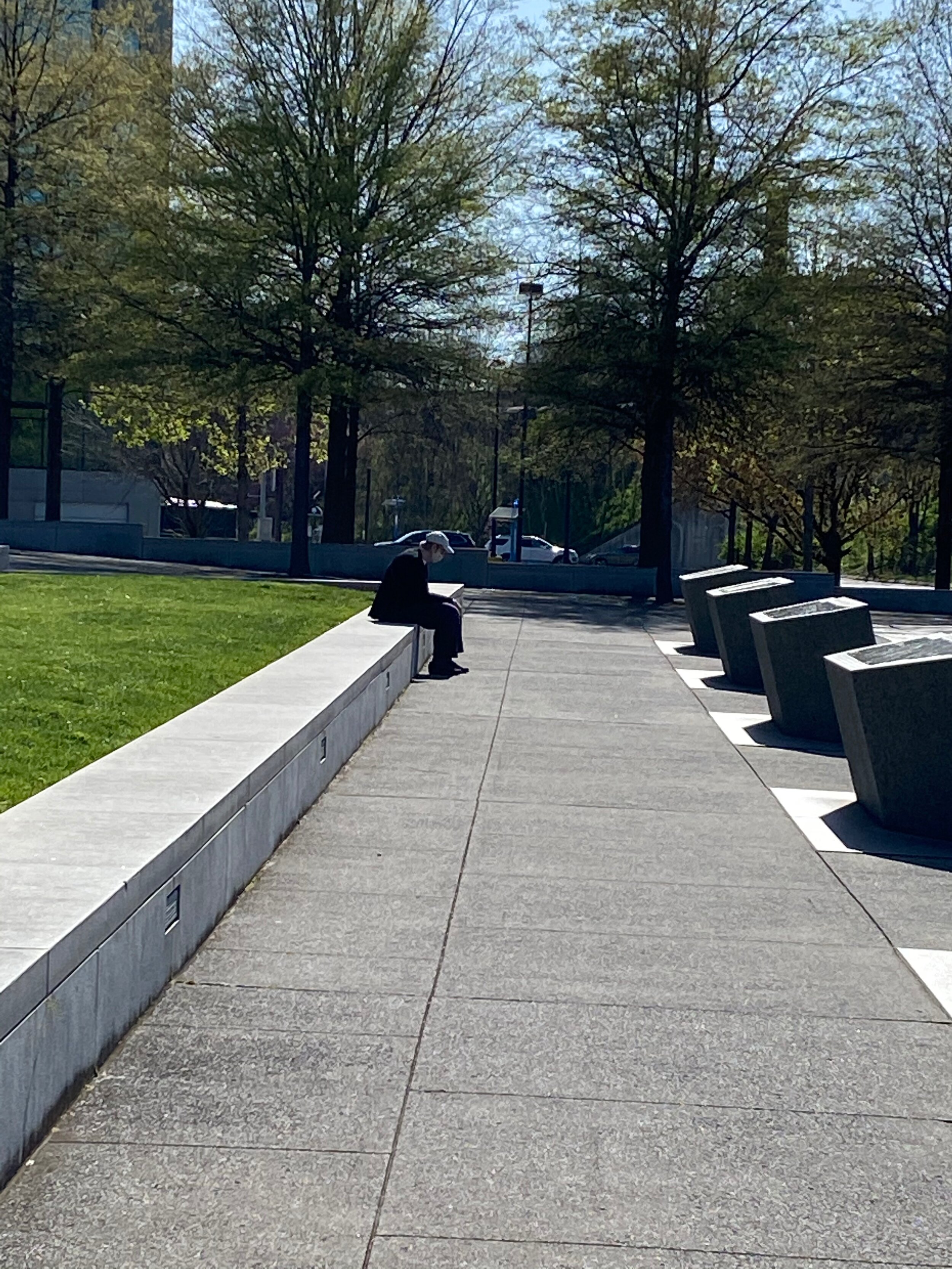
The first element is the green space in the middle which anchors the park and provides color and shade.
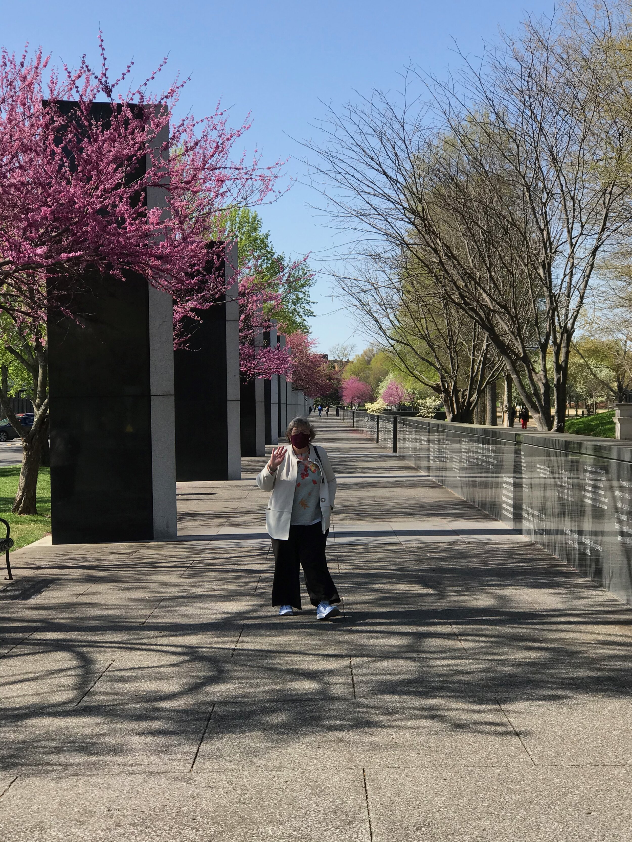
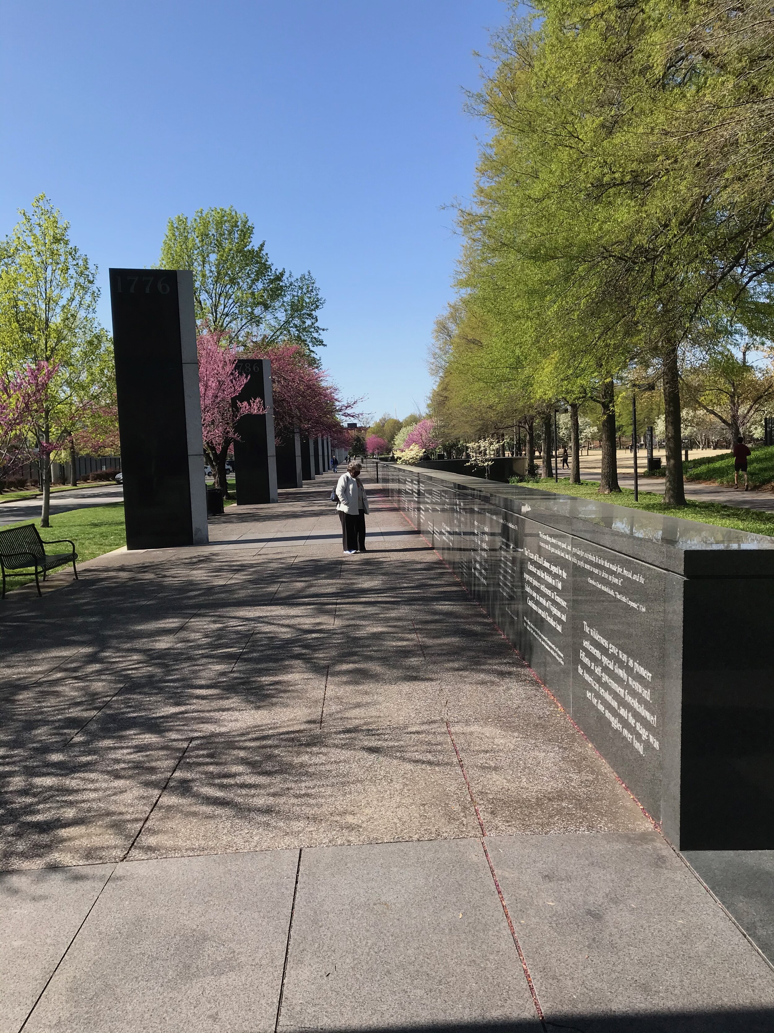
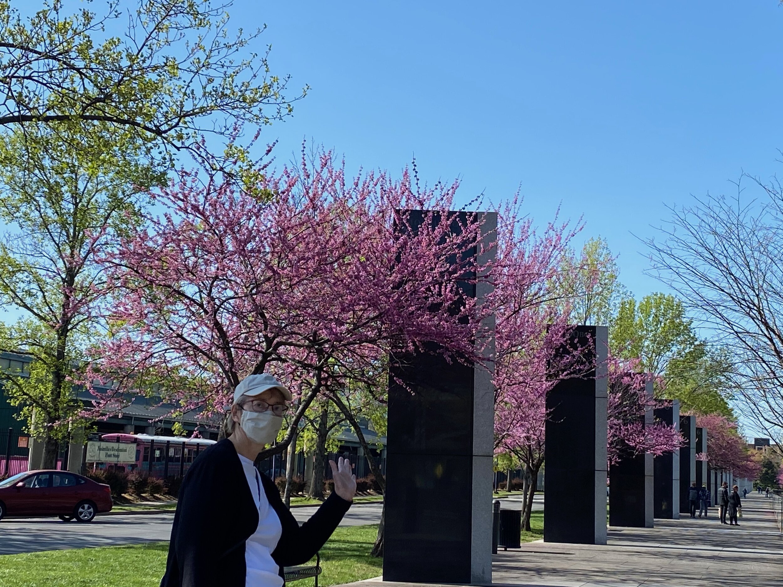
The second element is the black basalt wall, about waist high, that encloses the green area. Along this wall, starting at the site closest to the capitol, the history of Tennessee, from the Native Americans through the twentieth century is carved in texts and illustrations. Each decade is marked by a tall granite marker. The beginning of the civil war is illustrated by a jagged gap in the wall. I loved this wall, not just because I am a hound for knowledge, but because it was so well conceived and executed. The information was just enough and not too much and kept us moving and reading and moving and reading. In one walk around the park you will learn all the pertinent information about Nashville history and get in a good walk under shady trees with lovely views in all directions. It’s really magnificent. Both of us were incredibly impressed by the thought and creativity. We started with the wall, but the park just got better as we walked towards the capitol towards the third piece.
The third compelling element for us, is the water fountains and wall that represent all the major river systems in Tennessee. If you have never really thought about how much water is flowing through the state and how important it is and historically was, this area of the park presents this information is the most delicious way. A high black wall carved with quotes and information about the various rivers in TN provides a background for a semi-circular row of shooting water spouts. Each water spout represents a TN river. The water from the spouts flows backwards towards the wall where it falls into a trough and flows out towards the side, (like a river). On hot days children run through the water spouts, having a riotous time. It’s so very clever and original while being informative as well.
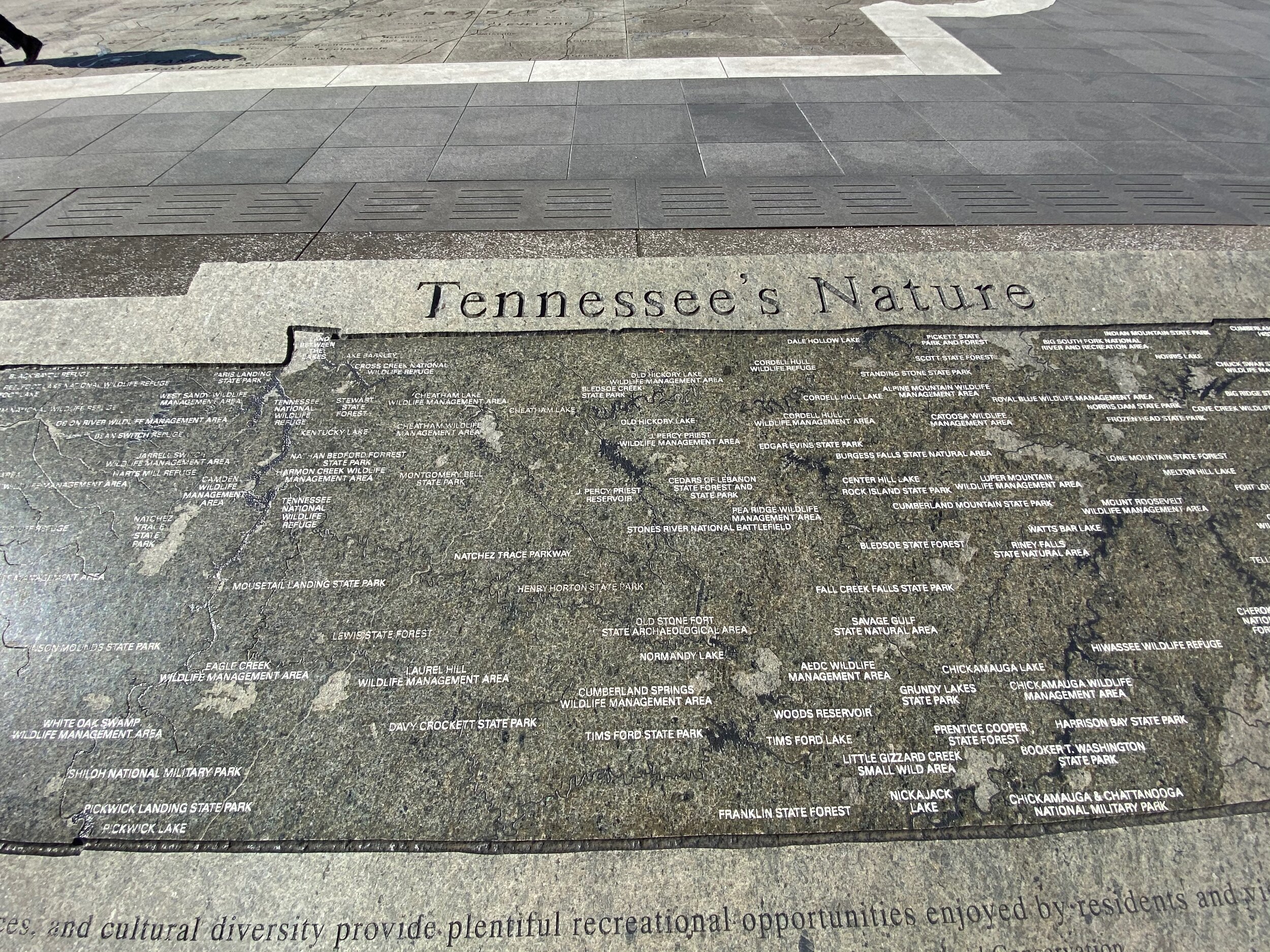
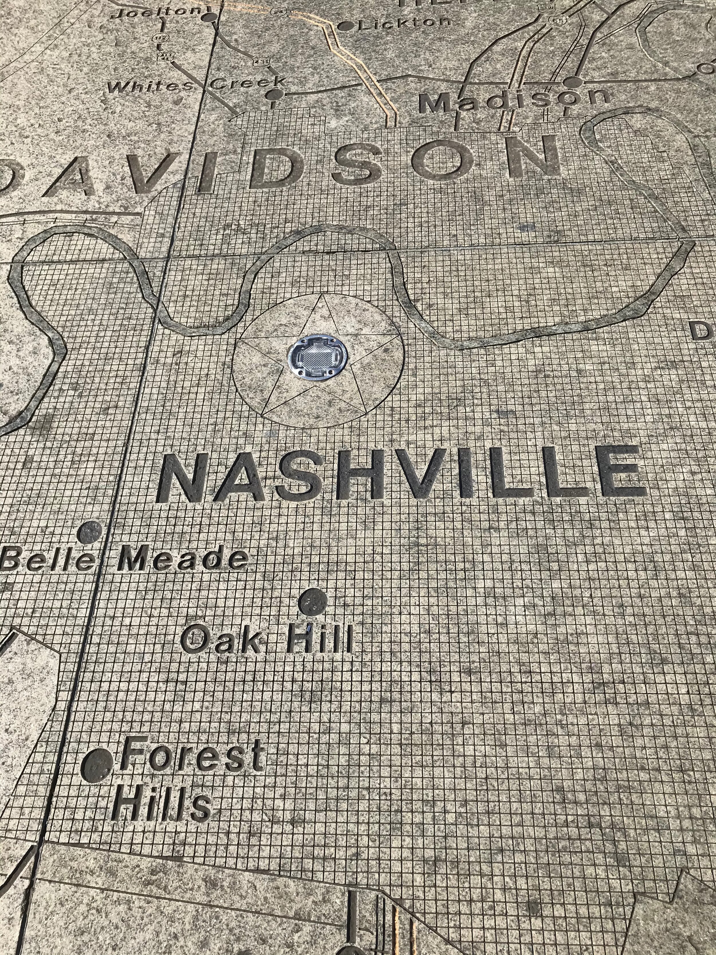
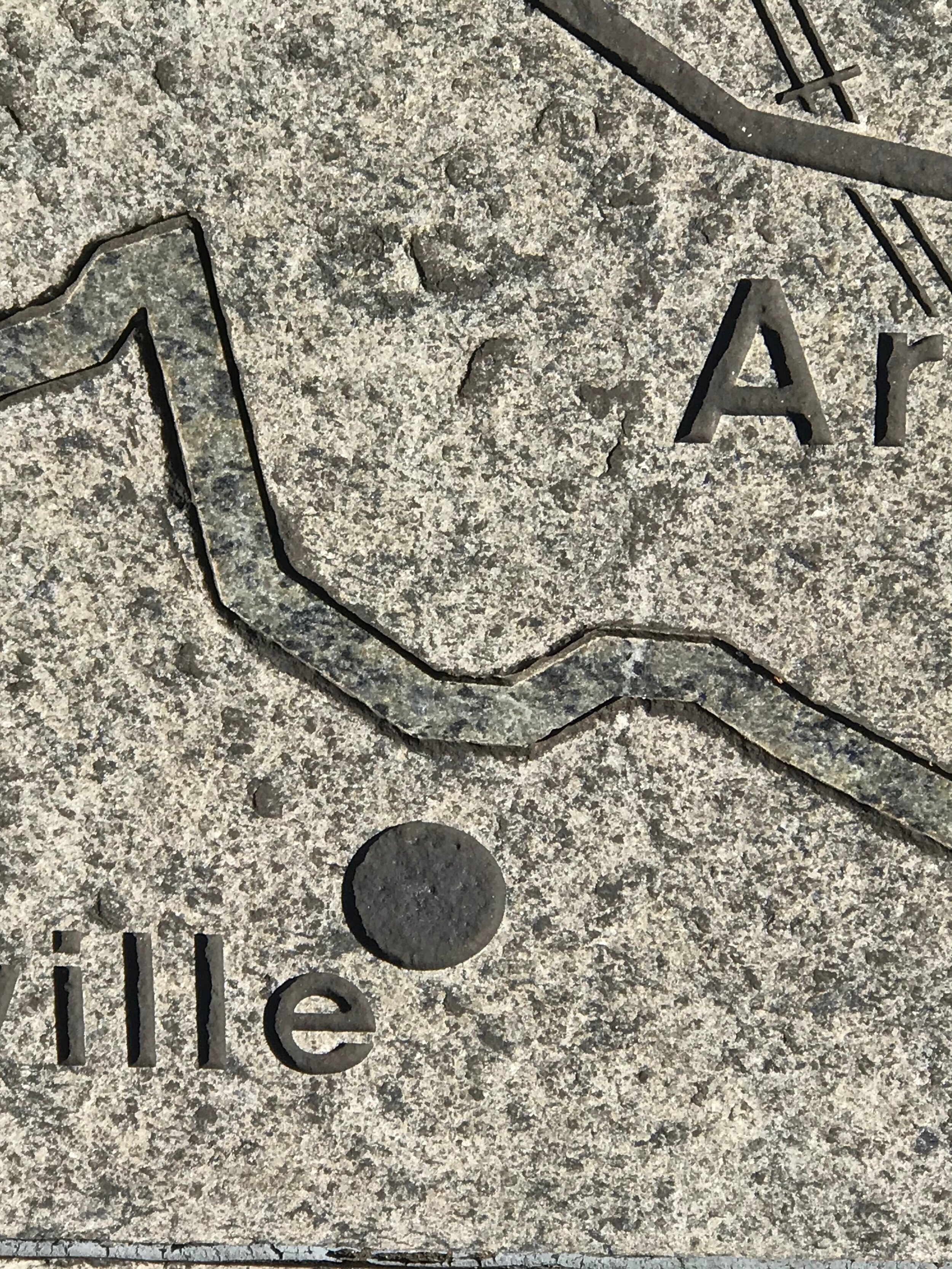
If you can wrench yourself away from the wall and walk towards the capital, our fourth major element of the park presents itself. Frankly, both Mary and I think of this portion of the park as pure genius. A map of TN, as wide as the park and maybe 20 feet high, has been created on the ground. Visitors can literally WALK across Tennessee. It’s quietly stupendous. The map is made of local stone. Every river, lake, mountain, town and city has been engraved into the stone. You can walk a river from the beginning to the end or find your favorite towns and cities and walk between them. Along the edges of the map are stone tables engraved with information about the geology, rivers, towns and economics of Tennessee. Yowza. Pure genius and highly entertaining.
Kudos to the city planners who built this terrific park, which at the time must have seemed highly unorthodox given its originality. We have never seen anything like it. We enjoyed ourselves immensely and we highly recommend visitors to put this high on their list of places to see.
